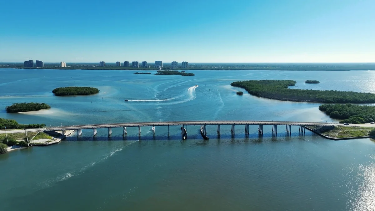
Services / Drone Photography
Drone Photography
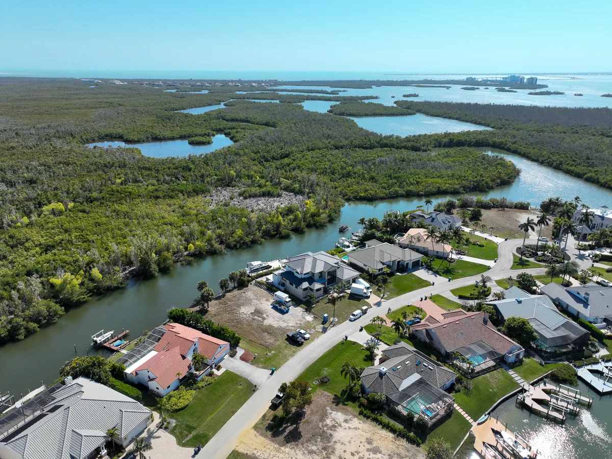
Show the property in context, from the driveway to the surrounding landscape.
Text for a quoteThe service
A clear view of what matters.
Aerial still photography for homes, vacant land, commercial sites, roofs, and construction projects.
Agents, owners, builders, and property managers use aerial images to explain lot position, access, exterior features, and relationships between buildings. Send the property address and your intended uses so we can plan useful viewpoints. Flights depend on weather, access, site conditions, and airspace requirements.
View selected property photographs or explore our video services to plan the right mix of media.
Deliverables & planning
Built around the brief.
What you receive
Edited aerial photographs of the agreed property and features. Combine the session with ground photography or drone video for a more complete visual record.
Pricing & timing
Custom quote
Most real estate photography is delivered within 1–2 days. Video and specialty projects may need more time. Confirm scope, delivery format, and your required date before booking.
Questions
Plan your project.
Where is drone photography available?
We serve Fort Myers and the listed Southwest Florida communities in Lee, Collier, and Charlotte counties. Send the address to confirm scheduling and project scope.
How do I request drone photography?
Text the property address, requested services, intended use, and preferred date. We will confirm availability and the project details.
Can I combine this with other property media?
Yes. Photography, aerial media, video, and other services can be coordinated around an agreed project scope.
Coverage & connections
Explore the right combination.
We cover Fort Myers, Cape Coral, Naples, and our other Southwest Florida service areas. See our full FAQ or request a quote.